HIKING MAPS |
|---|
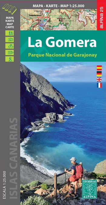
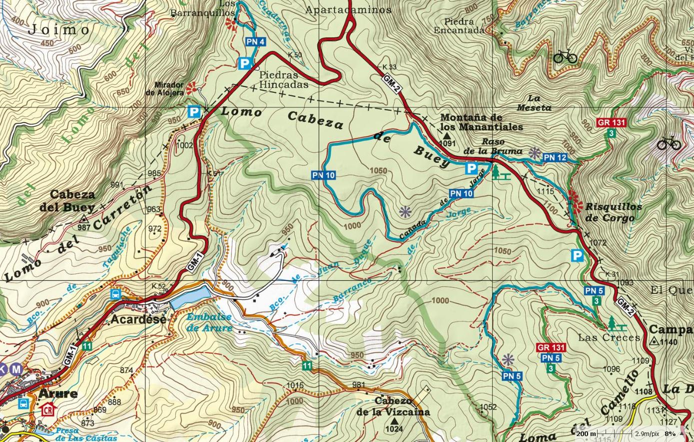
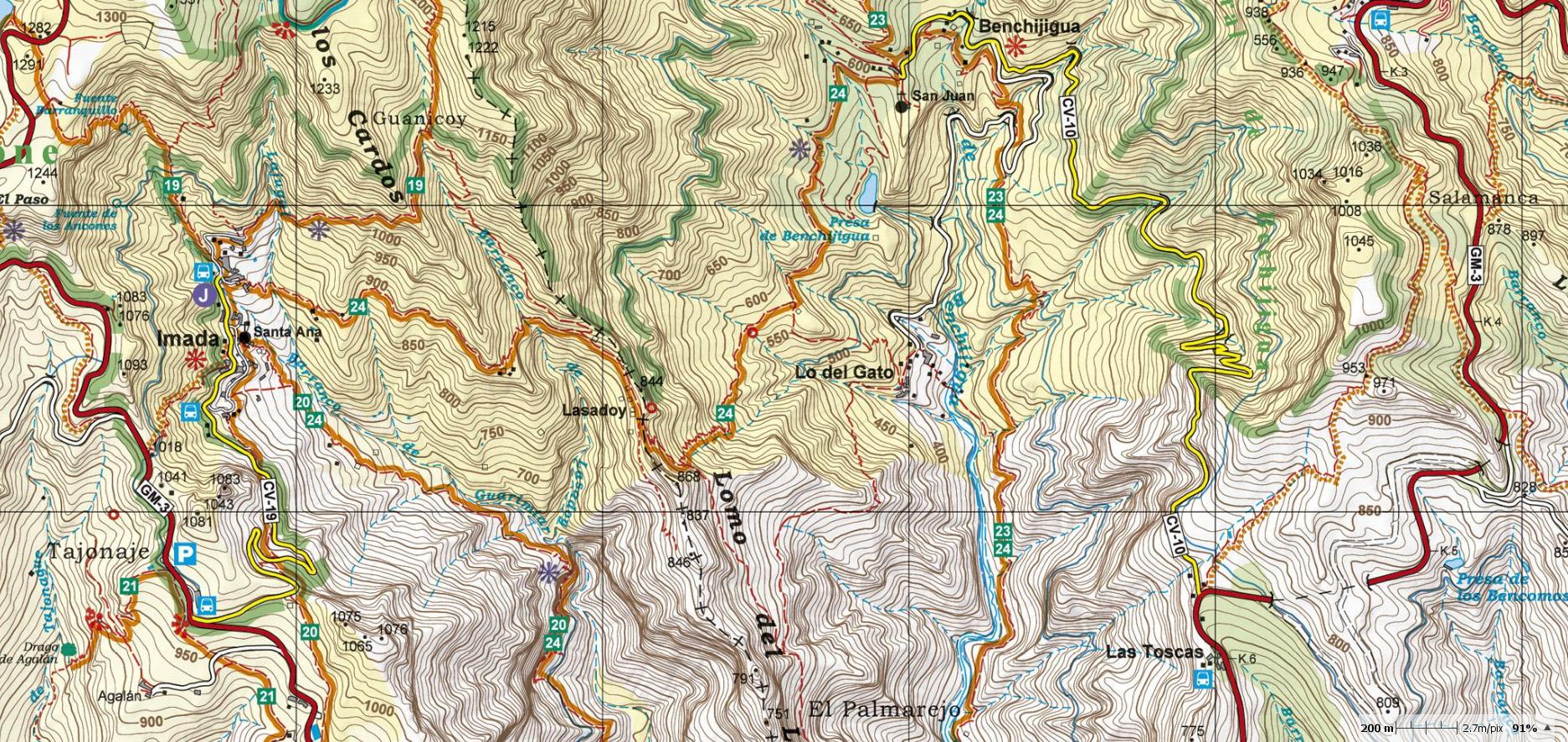
LA GOMERA: MAP 1:25.000 At the end of 2018, the publishing house Alpina (widely known in mainland Spain and in the Balearic Islands for its accurate and detailed hiking maps) published the first hiking map, at a scale of 1:25.000 of La Gomera (Canary Islands). The signposted paths: GR, 40 Routes of Cabildo de La Gomera and 18 National park routes were marked as well as important heritage sites such as: Windmills, water sources, conduits and filtration galleries, threshing floors, water wells and dry docks. Also included were sites of touristic interest such as: Viewpoints, campsites, information centres and other attractions. On 2023, the second updated edition has been published.
|
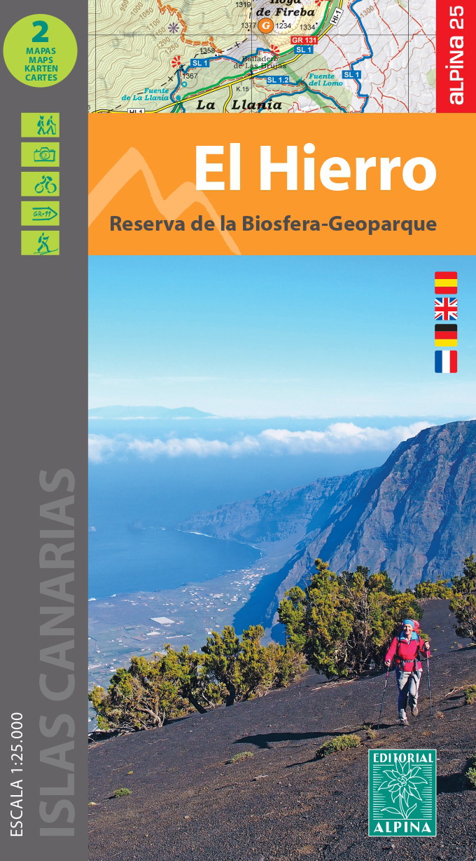
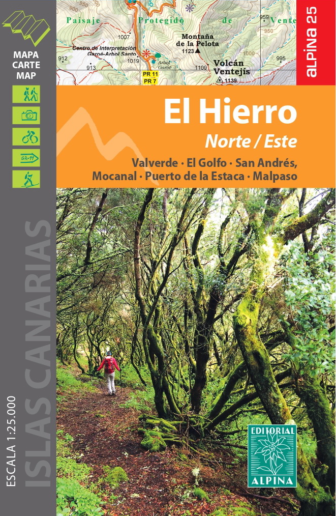
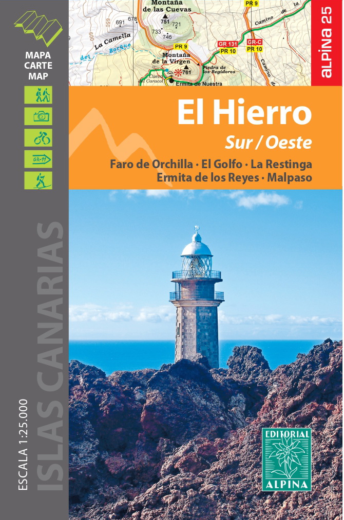
After the accurate and reliable maps of La Palma (2017), La Gomera (2018), Tenerife (2019) and Gran Canaria (2021), the publishing house Alpina (widely known in mainland Spain and in the Balearic Islands for its detailed hiking maps) will publish a set of 2 maps of El Hierro, at a scale of 1:25.000. The signposted paths: GR, PR and SL routes had been marked as well as important heritage sites such as: Water sources, conduits and filtration galleries, threshing floors. Also included are sites of touristic interest such as: Viewpoints, campsites, information centres and other attractions.
|
|---|
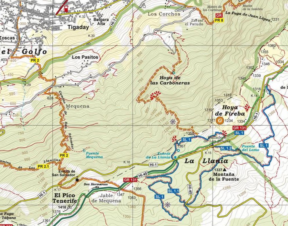
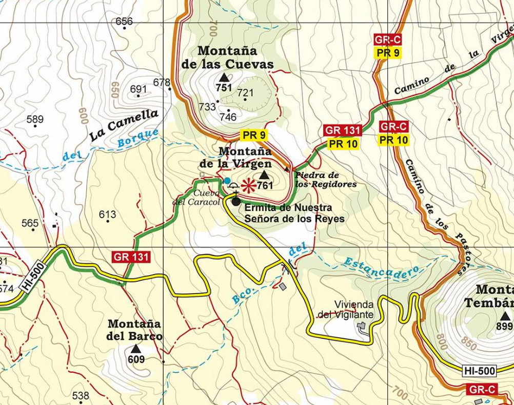
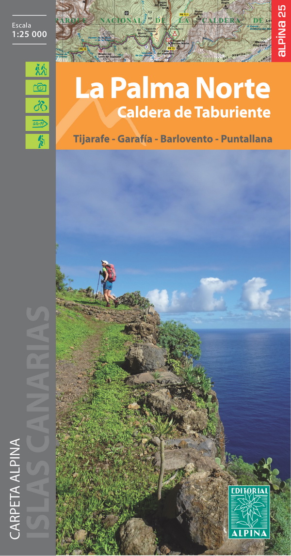
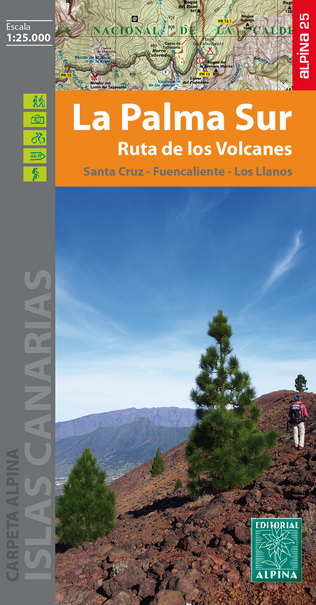
LA PALMA- SET OF 2 MAPS: LA PALMA NORTE + LA PALMA SUR 1:25.000
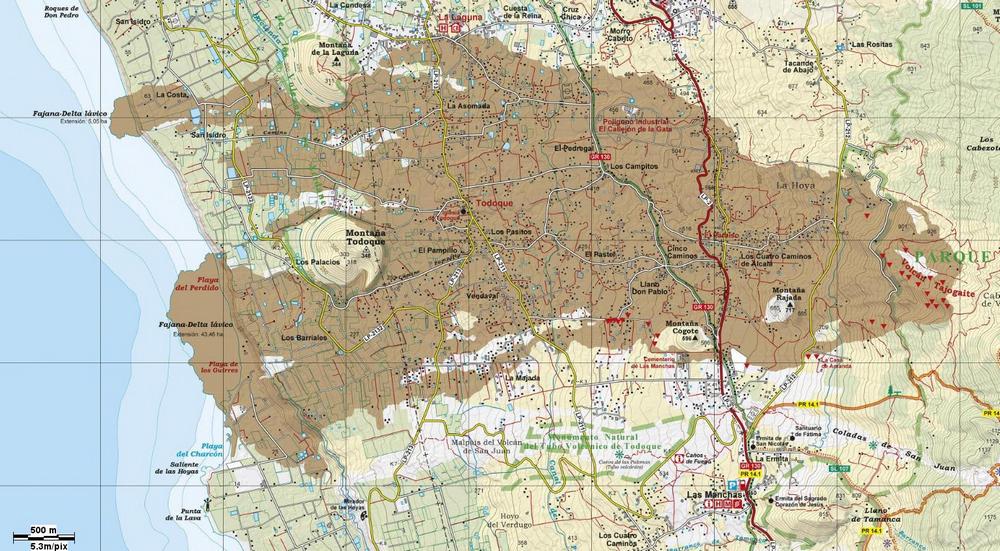
At the beginning of 2017, the publishing house Alpina (widely known in mainland Spain and in the Balearic Islands for its accurate and detailed hiking maps) published the first hiking maps, at a scale of 1:25.000 of La Palma (Canary Islands). Inside the map-set, there are two maps: La Palma Norte (North) and La Palma Sur (South). The signposted paths: GR, PR, SL, educational paths and National park routes have been marked as well as important heritage sites such as: Windmills, watermills, water sources, conduits and filtration galleries, old shepherd's huts, salt-water wells and dry docks. Also included are sites of touristic interest such as: Viewpoints, astronomical viewpoints, campsites, information centres, wine cellars, petroglyphs and other attractions. The third updated edition is available since march 2022. It covers the area affected by the volcanic eruption
LA PALMA ERUPTION (19. SEPTEMBER- 13. DECEMBER 2021) The volcano activity lasted 85 days and it was the longest known eruption on the island. Most of the 7.000 people that had been evacuated have lost their homes. The lava flow covered 1.219 hectares with a thickness of up to 60 meter, destroyed 2.988 buildings and banana plantations and completely devastated the village of Todoque. It also cut the coastal highway and other roads and formed two new coastal headlands, one of them 500 m wide and with a surface of 43,5 hectares. The most likely name for the new volcano is Tajogaite, which means “Montaña Rajada” (cracked mountain) in the aboriginal language, and is the name of the place where the eruption started. The best viewpoint to see the new volcano and its consequences is Mirador del Time on the LP-1 road between Llanos de Aridane and Tijarafe. The leading maps publishing house of Editorial Alpina would like to show, with this special edition, the magnitude of the devastation. The company and its customers will also donate € 1 from the sale of each map to support the people affected by the eruption. As most help was urgently needed, the donation of € 1.500 was given before these maps were even published on february 2022 (www.canarias-maps.info/donativo.htm)
____________________________________________________________
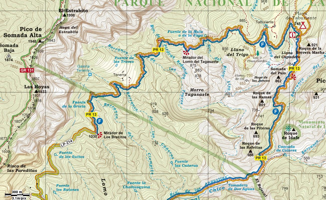
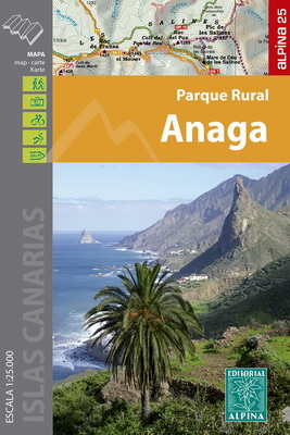
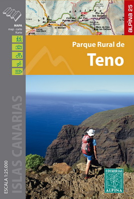
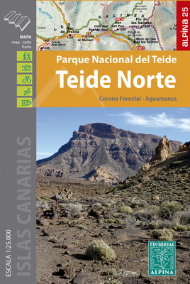
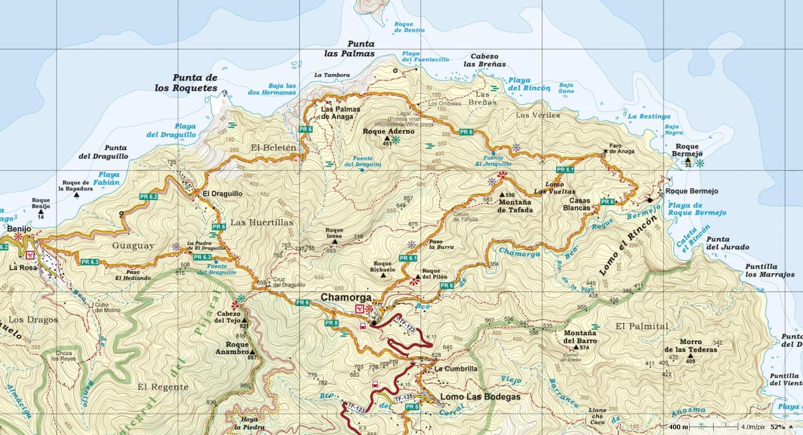
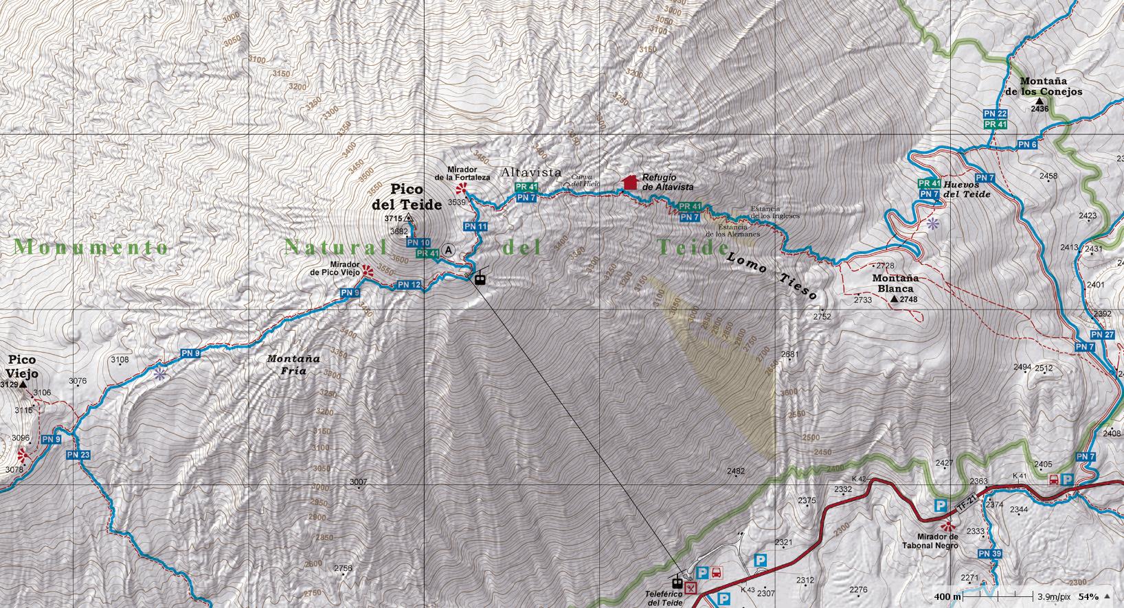
TENERIFE- SET OF 4 MAPS: ANAGA, TENO, TEIDE NORTH & SOUTH 1:25.000 After the accurate and reliable maps of La Palma (2017) and La Gomera (2018), the publishing house Alpina (widely known in mainland Spain for its detailed hiking maps) has published in 2019 a set of 4 maps: Parque Rural de Anaga, Parque Rural de Teno, Parque Nacional del Teide (North & South), at a scale of 1:25.000. The signposted paths: PR, GR, SL and the 39 National Park routes are marked as well as important heritage sites such as: Water sources, conduits and filtration galleries, threshing floors. Also included are sites of touristic interest such as: Viewpoints, campsites, information centres and other attractions.
|

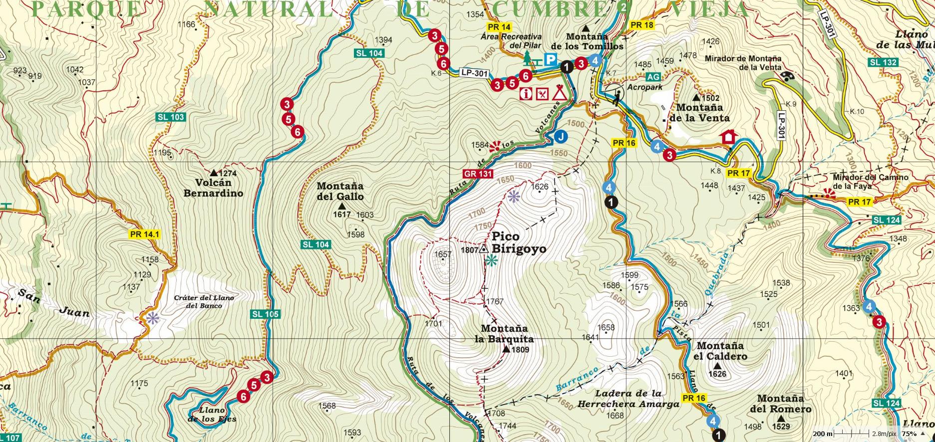
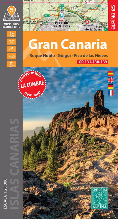
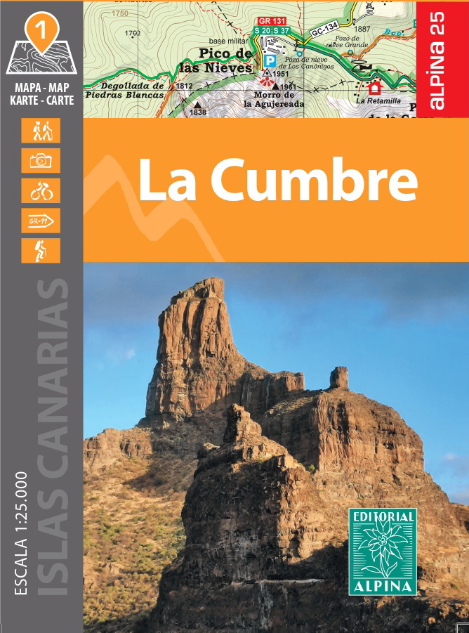
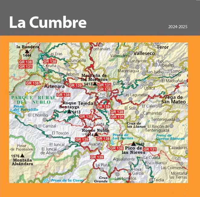
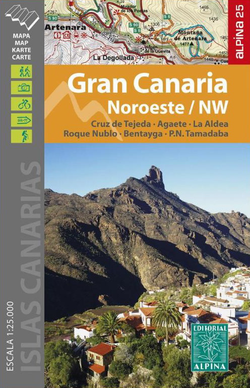
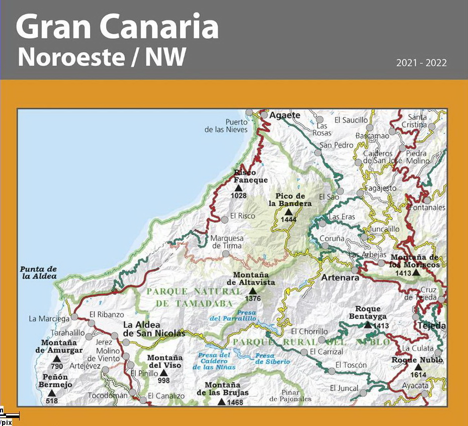
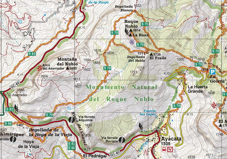
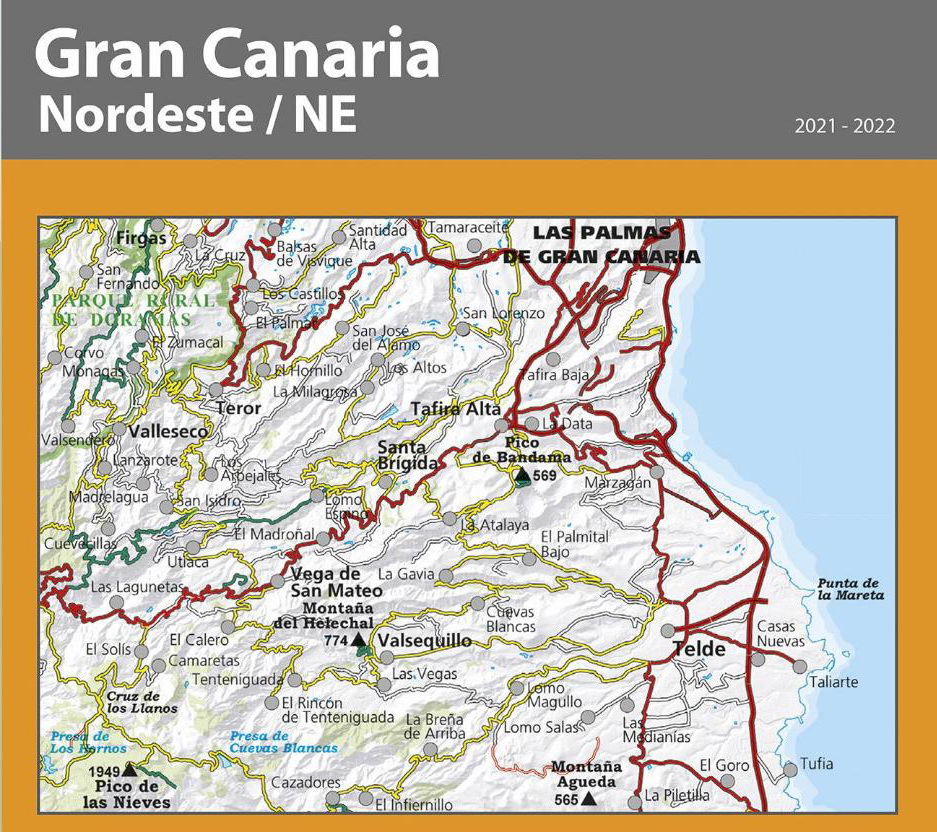
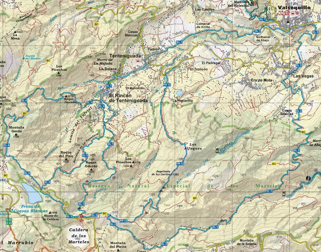
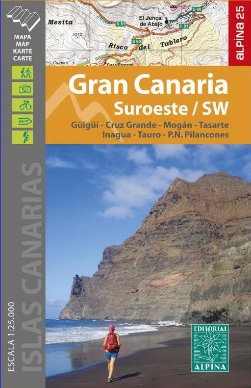
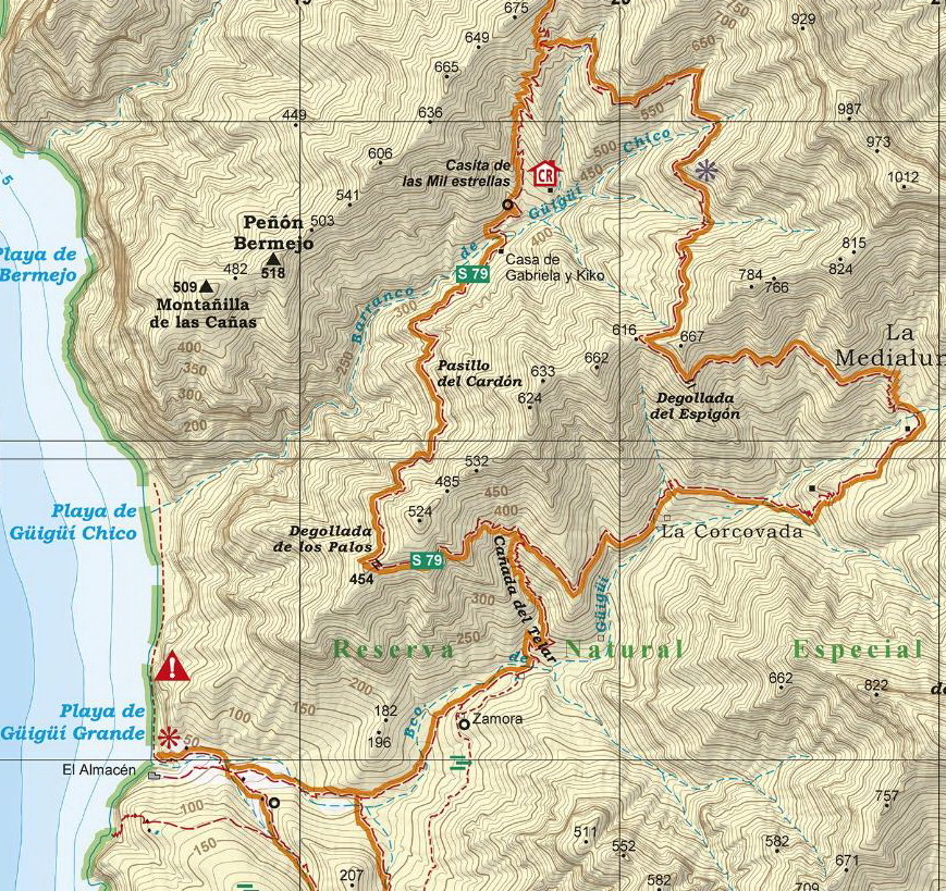
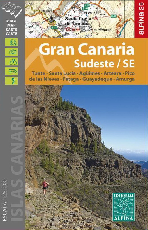
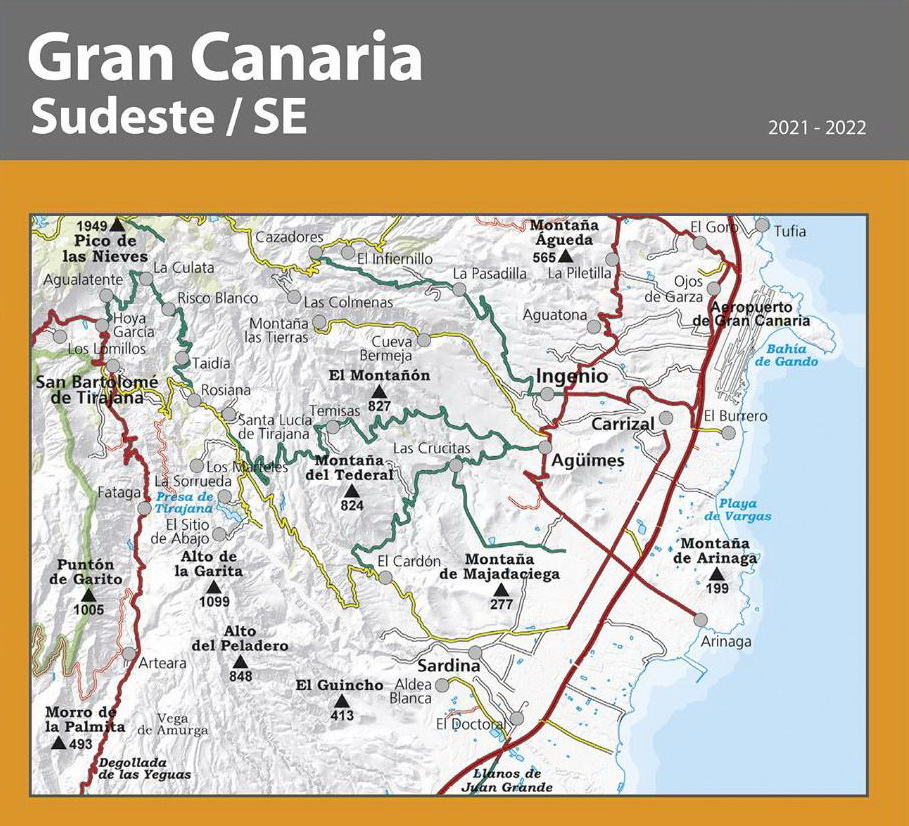
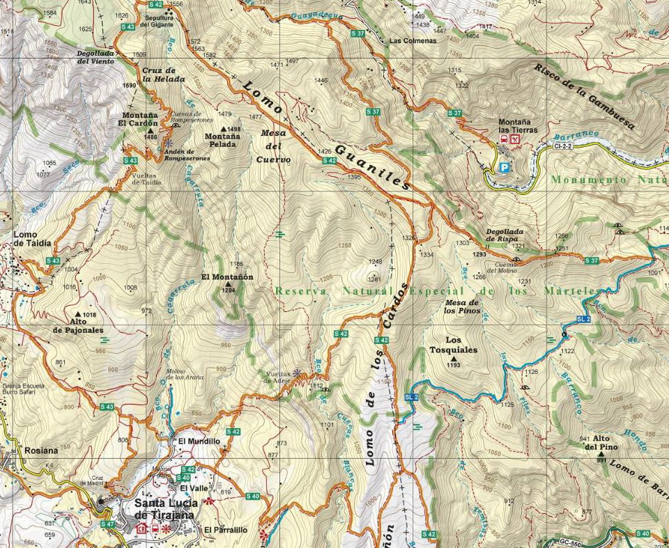
GRAN CANARIA 2021 + 2024 SET OF 5 MAPS 1:25.000 After the accurate and reliable maps of La Palma (2017), La Gomera (2018) and Tenerife (2019), the publishing house Alpina (widely known in mainland Spain for its detailed hiking maps) has published on 2021 a set of 4 maps at a scale of 1:25.000. The signposted paths: S and SL are marked as well as important heritage sites such as: Water sources, conduits and filtration galleries, threshing floors. Also included are sites of touristic interest such as: Viewpoints, campsites, information centres and other attractions. On 2024 the second edition has been published with the new long-distance paths GR 131, 138 and 139 and a fifth map of La Cumbre.
|