El Hierro Walking Paradise |
|---|


|
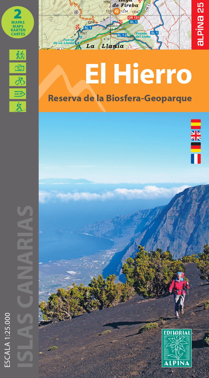
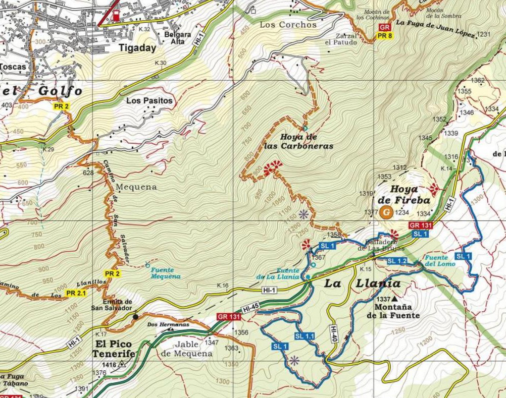
2 Hiking maps 1:25.000 Available since 4. November 2022
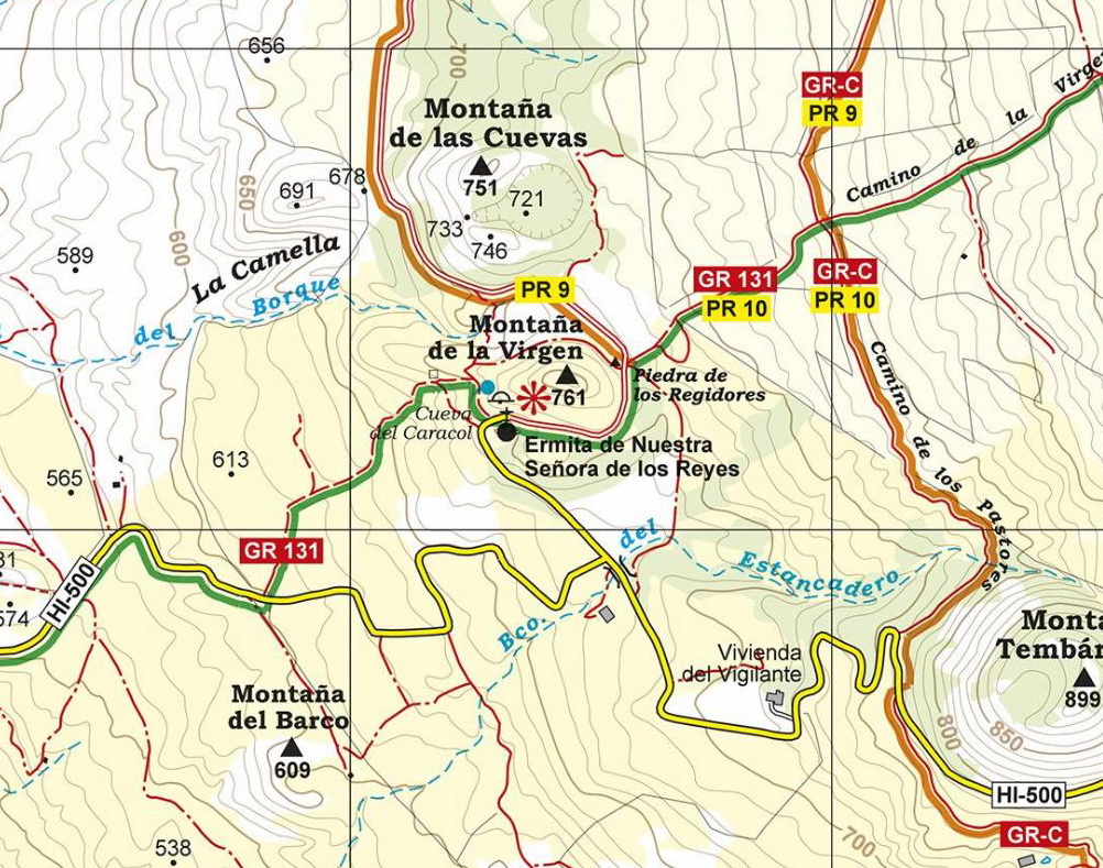
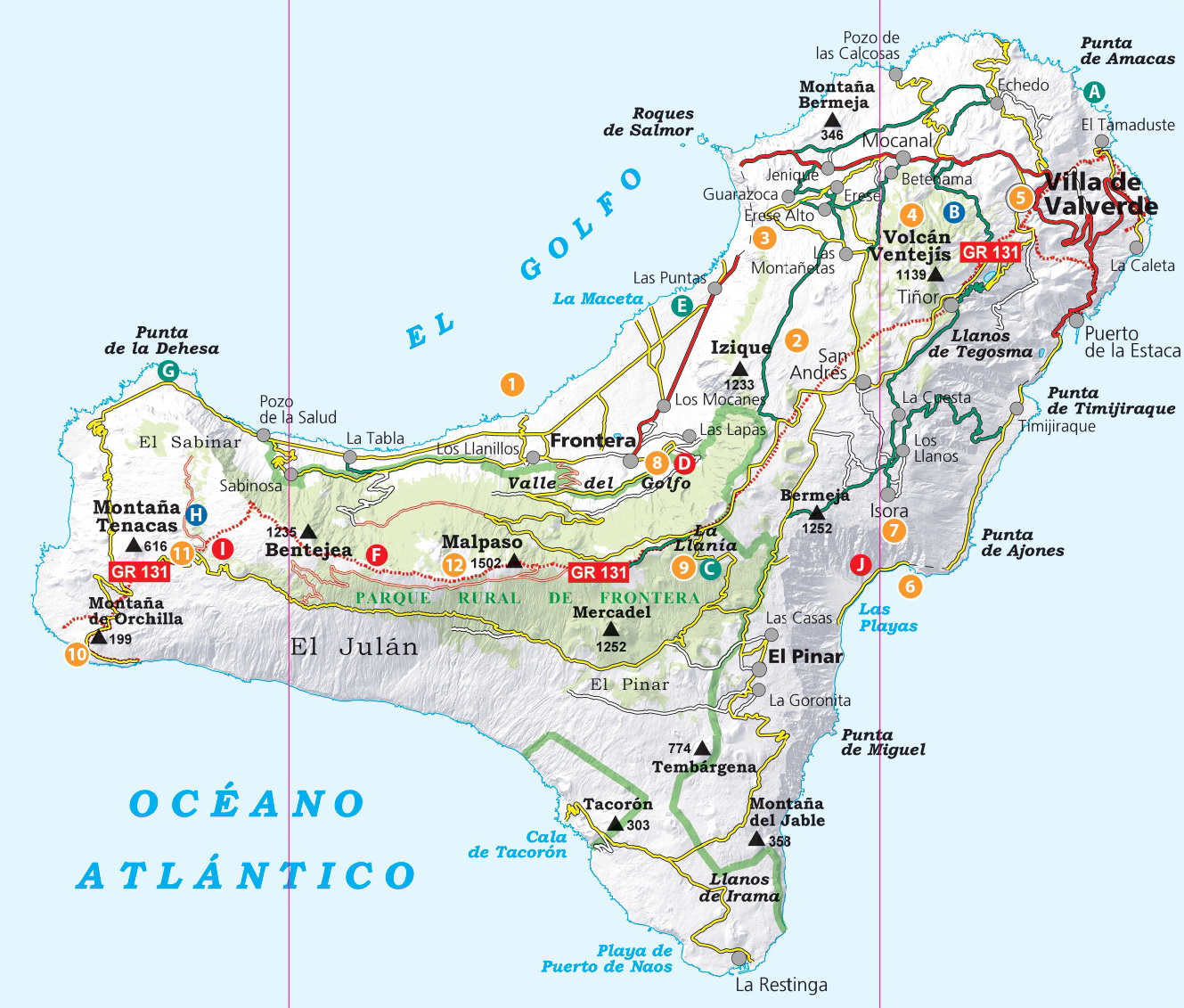
After the accurate and reliable maps of La Palma (2017), La Gomera (2018), Tenerife (2019) and Gran Canaria (2021), the publishing house Alpina (widely known in mainland Spain and in the Balearic Islands for its detailed hiking maps) will publish a set of 2 maps of El Hierro, at a scale of 1:25.000. The signposted paths: GR, PR and SL routes had been marked as well as important heritage sites such as: Water sources, conduits and filtration galleries, threshing floors. Also included are sites of touristic interest such as: Viewpoints, campsites, information centres and other attractions. |
ALPINA HIKING MAPS LA PALMA/ LA GOMERA/ TENERIFE/GRAN CANARIA |
|---|
|
►Update your Alpina hiking map >> ►Photo gallery: Mountain landscapes of the island >>
|
|---|
Contact: jaume.tort@gmail.com |