Gran Canaria Walking Paradise |
|---|
|
|
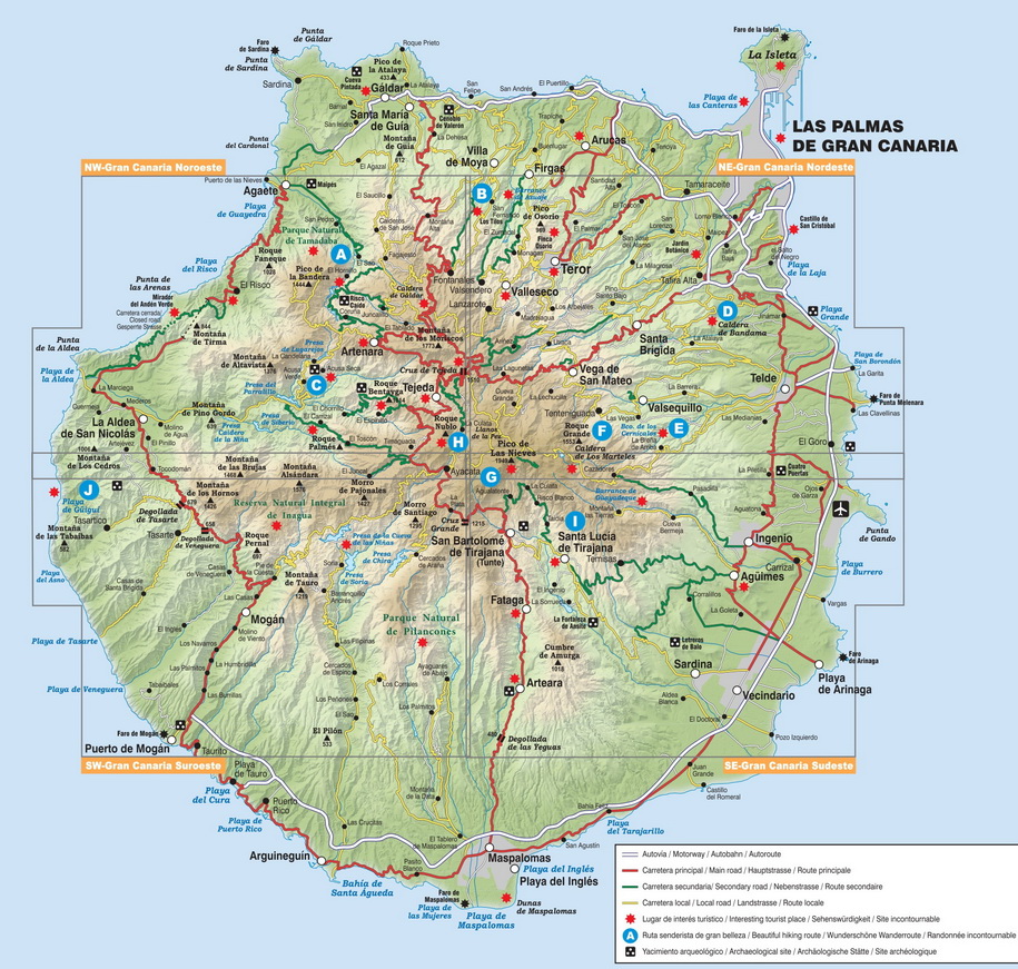
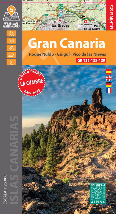
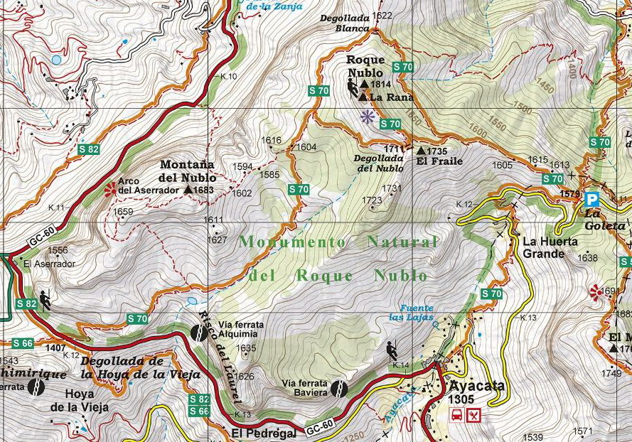
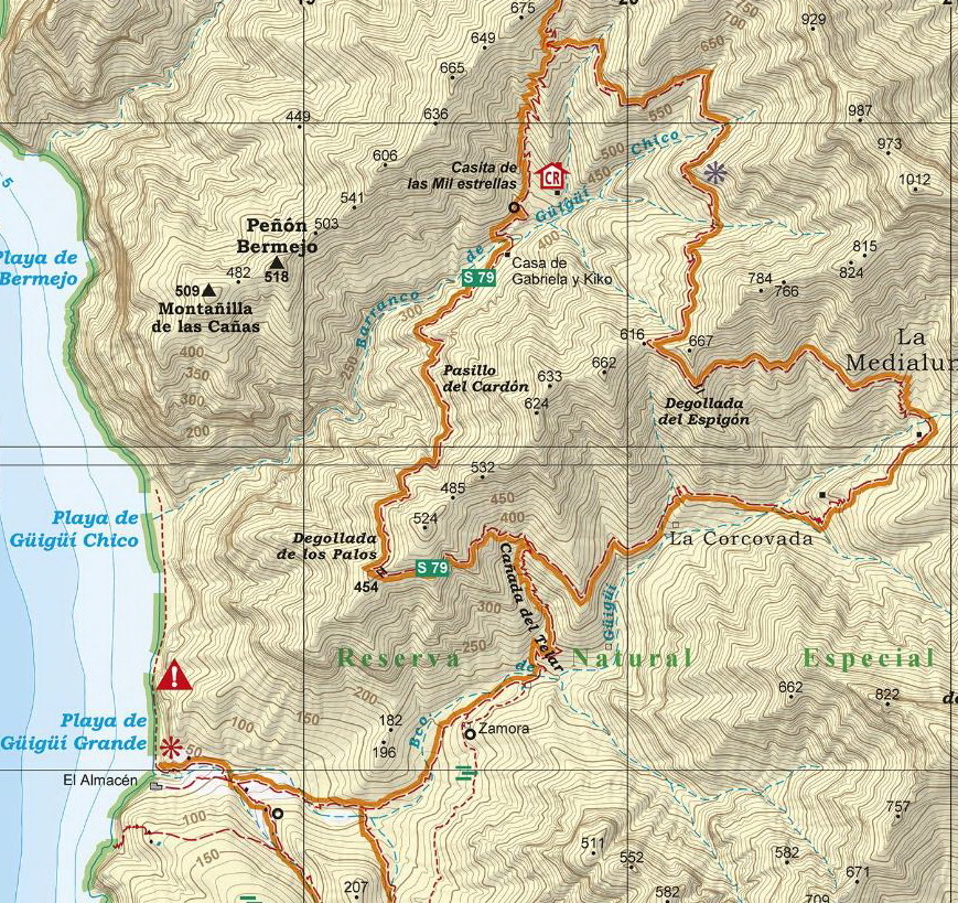
After the accurate and reliable maps of La Palma (2017), La Gomera (2018) and Tenerife (2019), the publishing house Alpina (widely known in mainland Spain and in the Balearic Islands for its detailed hiking maps) published on 2021 a set of 4 maps of Gran Canaria: Northwest, Northeast, Southwest and Southeast, at a scale of 1:25.000. The signposted paths: S and SL routes had been marked as well as important heritage sites such as: Water sources, conduits and filtration galleries, threshing floors. Also included are sites of touristic interest such as: Viewpoints, campsites, information centres and other attractions. On the second edition (April 2024), the new Long Distance paths GR 131, 138 and 139 have been represented and a fifth map of La Cumbre has been added.
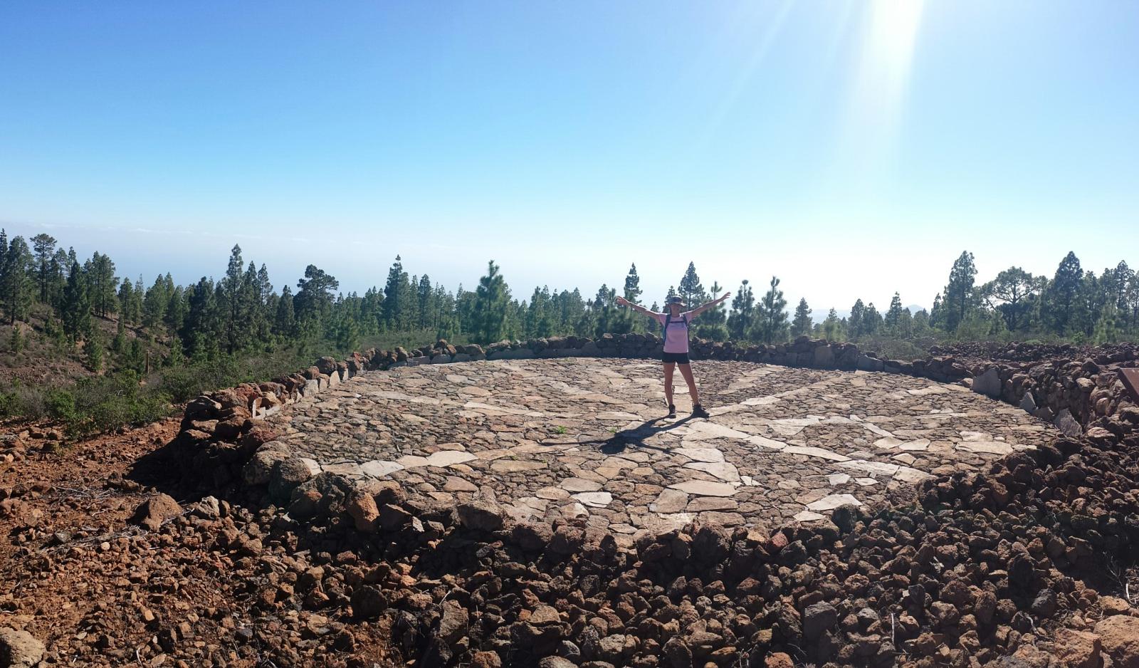
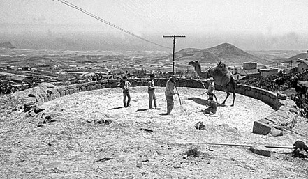
The threshing floors, important heritage sites, are also represented on the map.
|
ALPINA HIKING MAPS LA PALMA/ LA GOMERA/ TENERIFE/GRAN CANARIA |
|---|
|
►The most beautiful hikes in Gran Canaria >> ►The new long- distance paths GR 131- 138- 139 >> ►Update your Alpina hiking map >> ►Around the paths- interesting information WORTH KNOWING >> ►Bildgalerie: Mountain landscapes of the island >>
|
|---|
The publishing house Editorial Alpina would like to thank our local collaborators
Maps review: Mariano Domínguez "Madogu"
("Name") Wikiloc user name |
Contact: jaume.tort@gmail.com |