WORTH KNOWING |
On the hiking map, we have located most of the heritage highlights that can be seen along the hiking paths. They tell us about the difficult life that the inhabitants endured until recent times
Cuevas Blancas- Threshing floor in El Magro
THRESHING FLOORS
The culture of grains was the most important in the Canary Islands and Gofio (canarian flour made from roasted grains) the food staple. These round places were often built in high places or saddles to take advantage of soft and steady winds to facilitate the work of winnowing, separating the grain from the chaff, once the threshing was completed.
El El Magro- Bread kiln
Terraces in Barranco de Majona and Jaragán
ABANDONED TERRACES AND HAMLETS
These terraces can be seen all around the island. At the end of the 19th century, many landless farmers had to leave the island, while others decided to stay and work on the steep and stony slopes. They built terraces far away from their villages and farmed cereals and potatoes.
PATHS
Workers from Cabildo clearing a path- Path to Cuevas Blancas
Path to Barranco de Majona- Path through Barranco de Guarimiar
Many paths were already built by the aboriginal people of the Canary Islands and widened by the castilian conquerors after the 15 th. century. There are different kinds of paths: Camino Real, the main path linking the villages, Traviesa (traverse paths), Camino de tira (used for the transportation of wood in oxtracks, Vereda (narrow path), Caminos de herradura (Chart tracks used by horses and donkeys), Camino de trillo (inside a private property), Atajo (shortcut), Camino vecinal (inside a municipality), Camino de prois o puertos (linking the village with its ports or docks and Pasada (just for shepherds in steep slopes)
PESCANTES
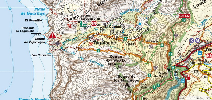
Until 1950, some villages hadn't been connected by road relying instead on sea transport was used often. The "pescantes" were piers for the transportation of bananas (Agulo, Taguluche, Hermigua, Vallehermoso)


